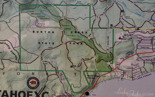
Map showing the trails in the park
Trip Log:
- 12:48pm - start hiking
- 03:23pm - finish the hike
By the time we arrived at the entrance of Burton Creek State Park it was already noon, so we decided to choose a relatively easier loop following the signs showed on the map: 1-> 15 -> 21-> 19-> 12-> 11 -> 18 -> 8 -> 7 -> 2 -> 1. After passing the Junction 11, we immediately felt the snow on the trail was much thicker. Hiking in the snow is similar to walking on a sandy beach in that to move forward we had to fight harder.
This trail bears no drastic altitude change, so we still calmly took time to play in the snow and eat some food. Next time we want to try one of the trails that leads to a scenic overlook, which should be more challenging.
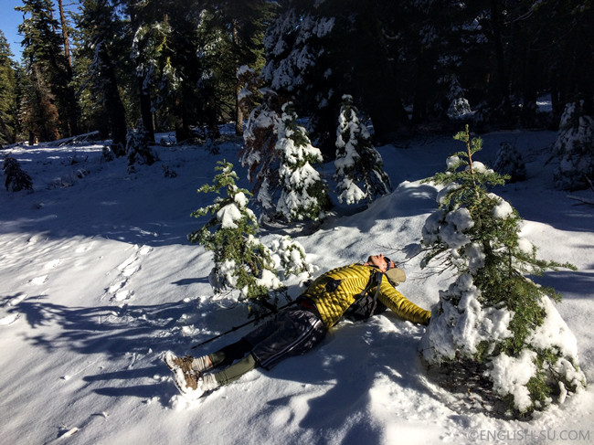
Who is this fallen angel?
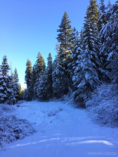
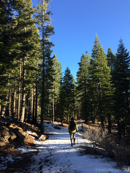
We leave the first footprints on the fresh snow along 11 ->18 -> 8
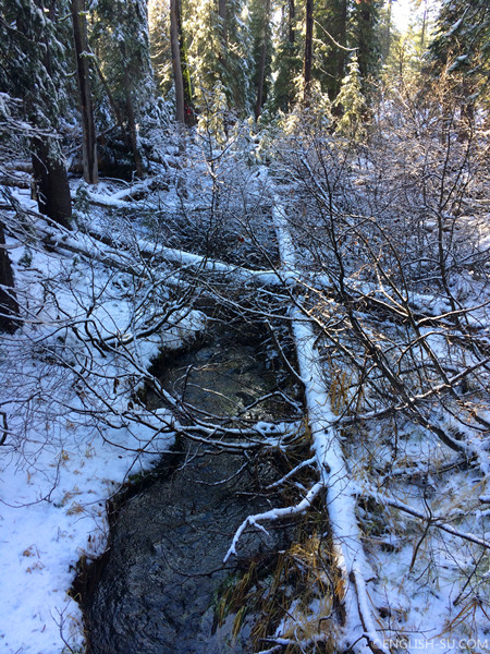
Burton creek is still running swiftly even though its banks are quite snowed-in
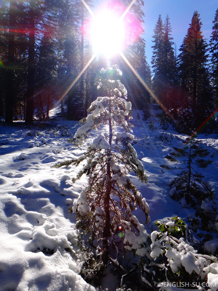
Icy drops of water twinkle in the sun radiating colorful rays like diamonds, a beautiful scene hard to be captured by a pocket camera

Playing in the snow
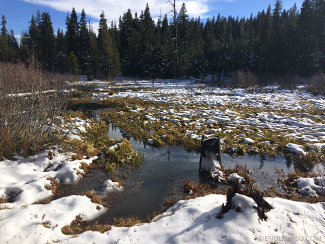
Part of Antone Meadow flooded by melted snow looks like a lake
Though snow is everywhere, we barely felt cold during the hike because our bodies warmed up quickly
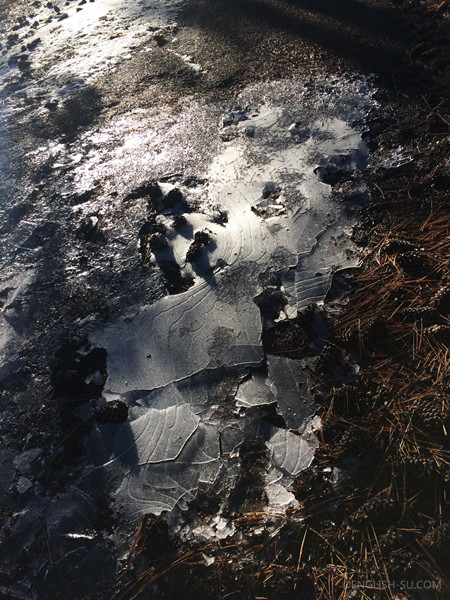
A few puddles turned ice patches are also along the way
See also, Afoot and Afield: Tahoe-Reno pages 135-136
Share this post
Facebook
Twitter
Google+
Reddit
Email